Blackwater
Estuary Maps from the Past
an
eclectic collection of maps found over previous years
select a map to enlarge in and zoom in
|
|
|
|
|
|
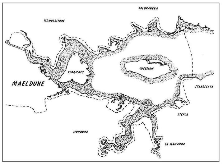
Roman names around the Estuary |
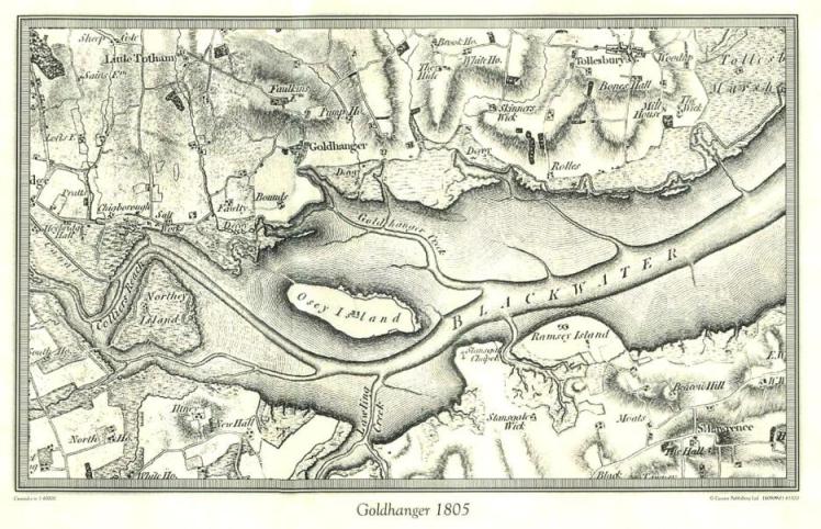
first O.S. map in 1805 |
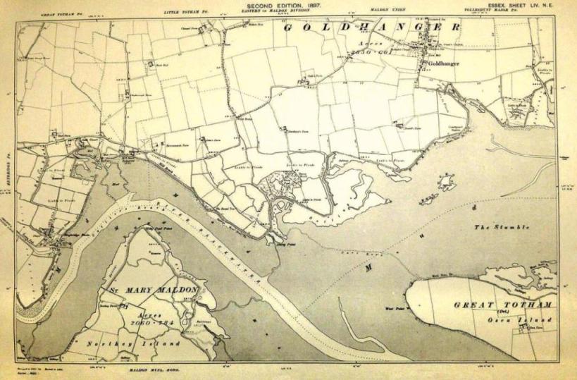
1897 O.S. map |
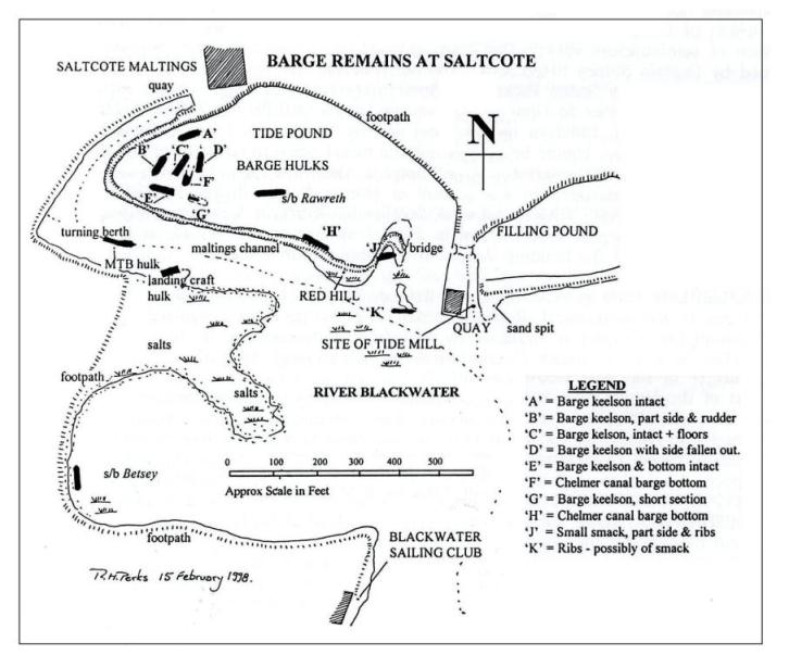
barge remains near Saltcote Maltings |
|
|
|
|
|
|
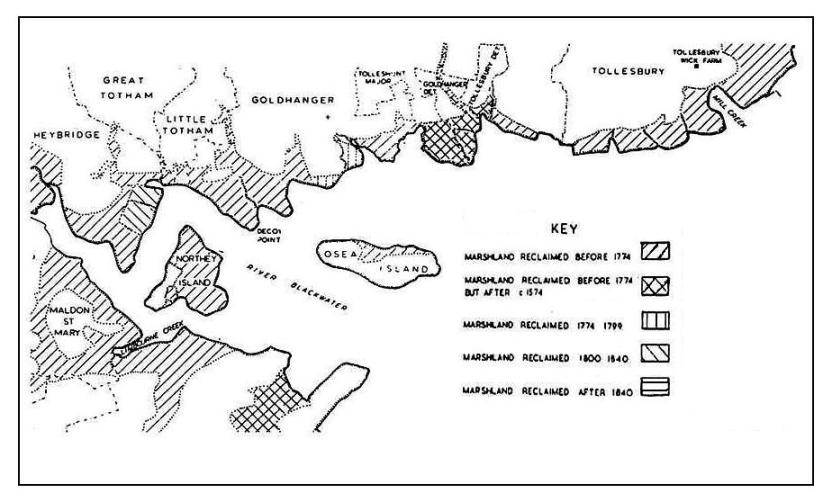
reclaimed lands and seawalls |
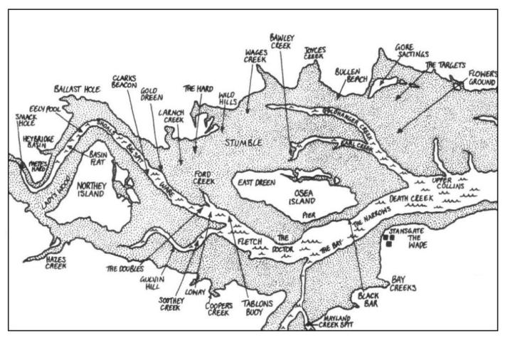
local place names |
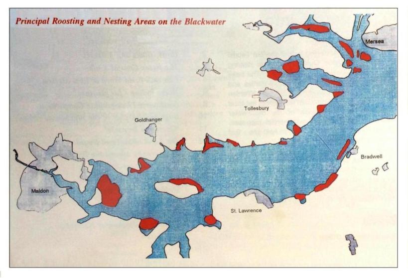
bird nesting areas in 1997 |
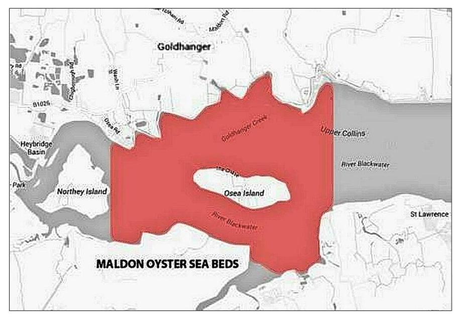
Maldon Oysters beds in 2018 |
|
|
|
|
|
|
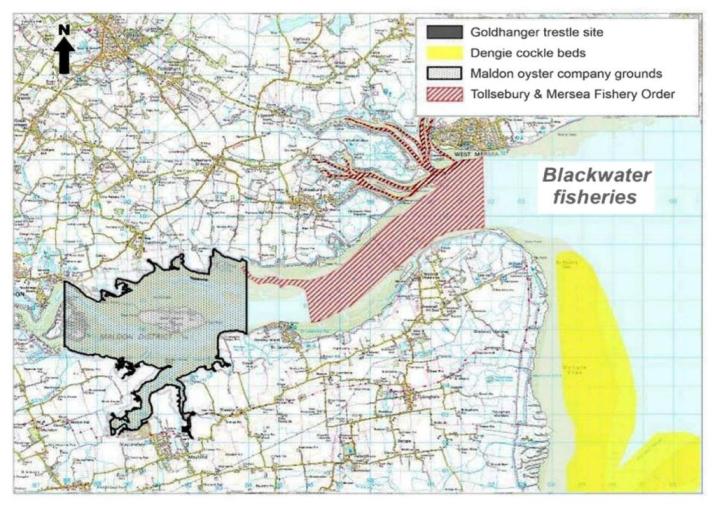
Blackwater Fisheries by CFAS |
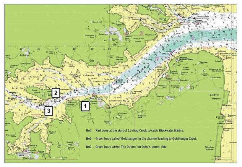
locations of local buoys |
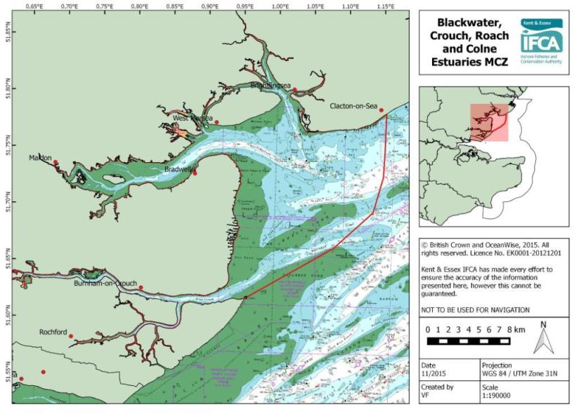
Marine Conservation Zone in 2015 |
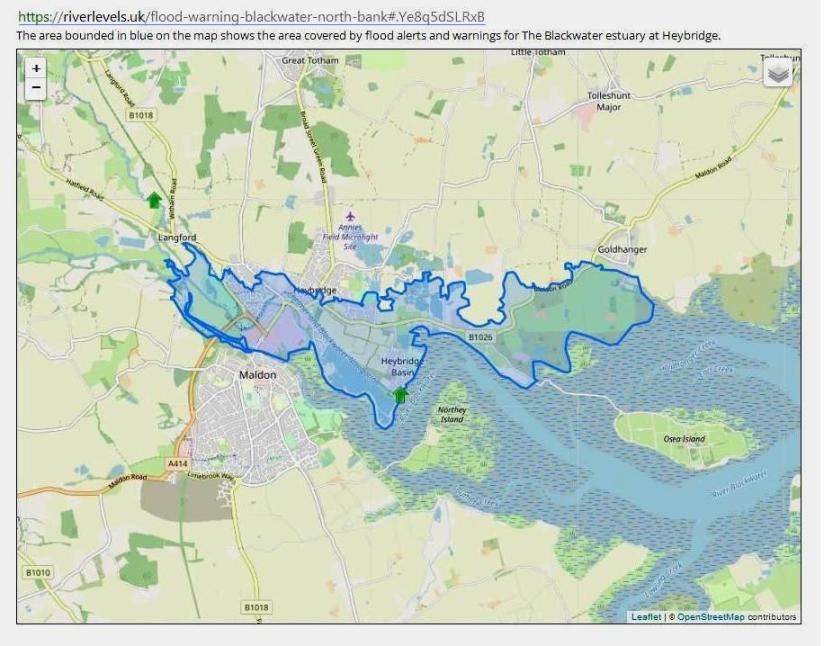
flood warnings in Jan-2022 |
local maps from the past early essex county maps aerial views from the past home