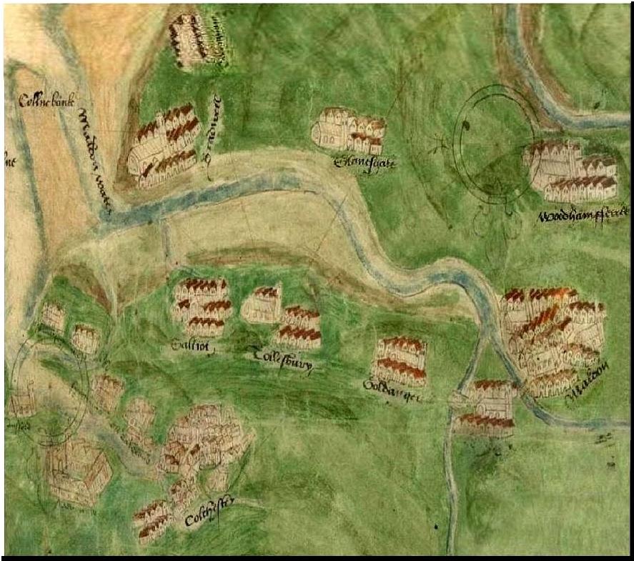
also see... early Essex county maps select a map to enlarge and use zoom
|
|
|
|
|
|
1500s |
1544 by Richard
Cavendish |
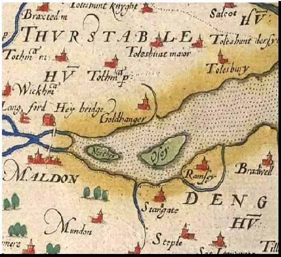
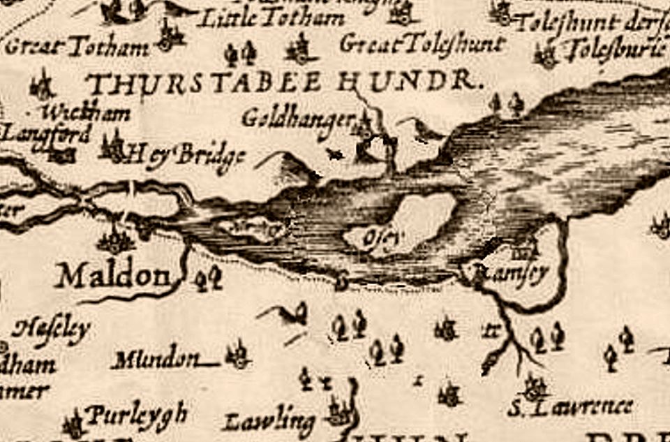
1579 by Christopher Saxton |
1600s |
|
|
|
|
|
|
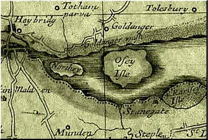
1768 by Philip Morant |
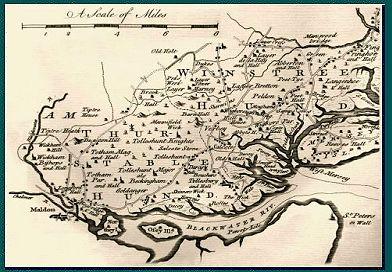
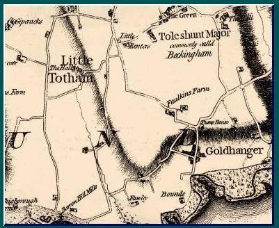
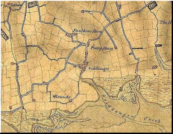
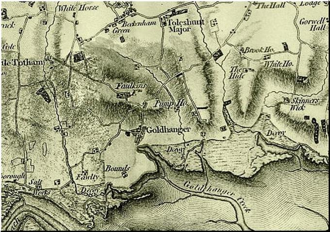
1777 by Chapman & Andre |
1790s |
1805 O.S. |
|
|
|
|
|
|
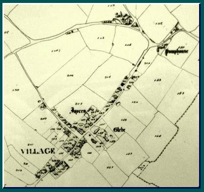
1820 Tithe annotated |
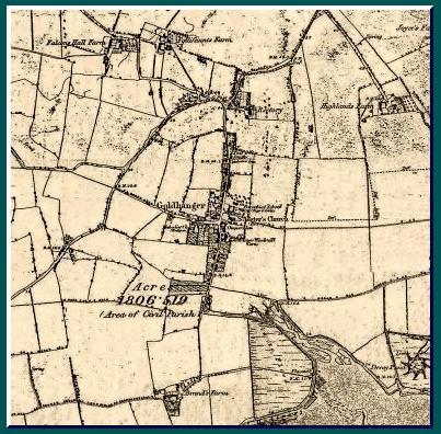
1830s Tithe |
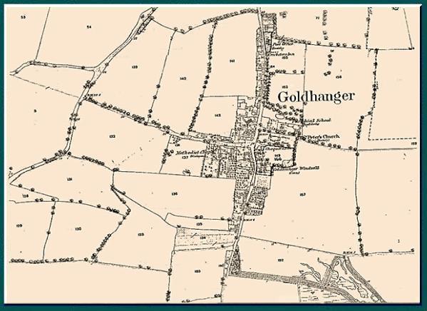
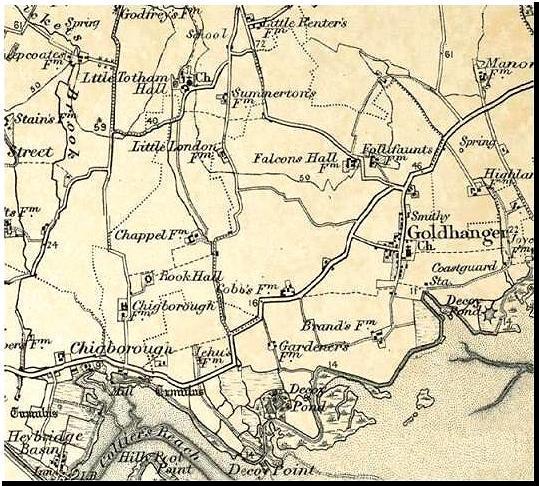
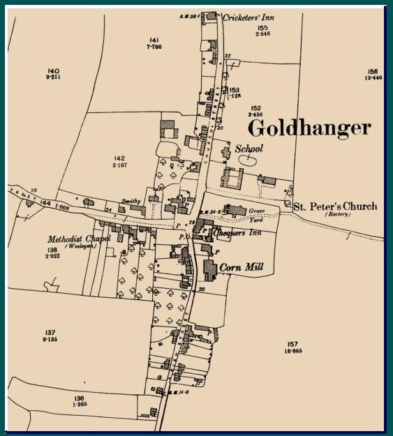
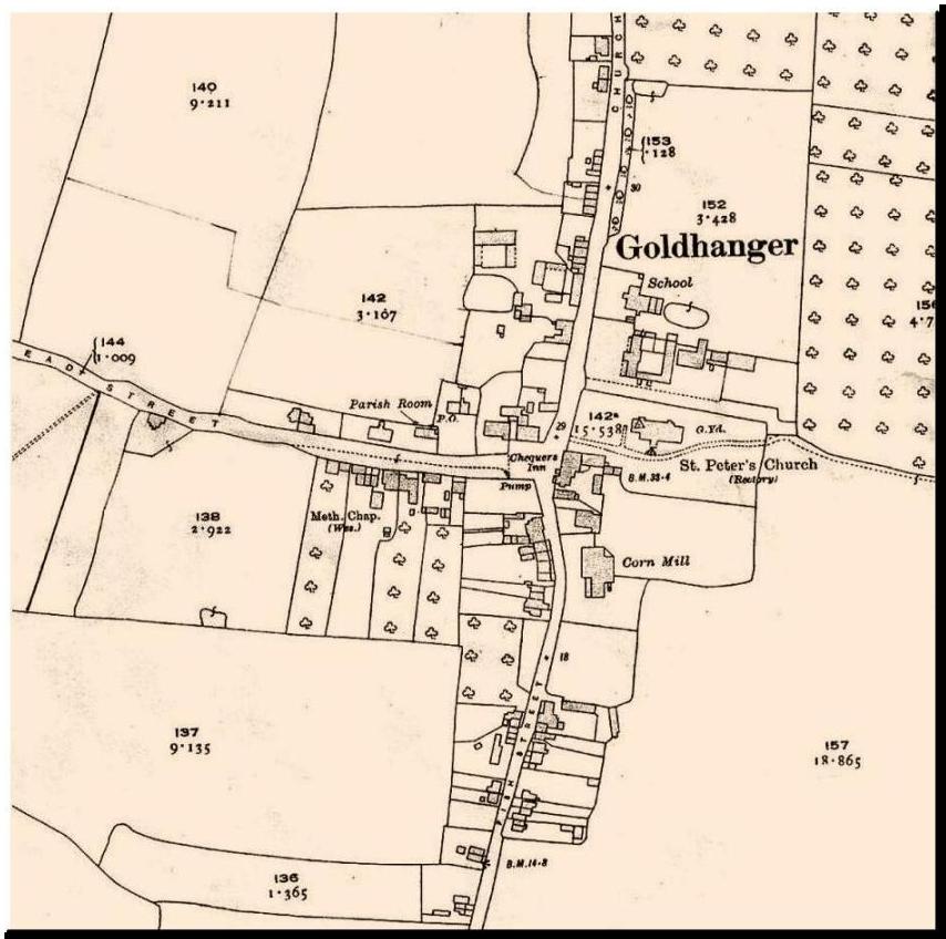
1875 O.S. |
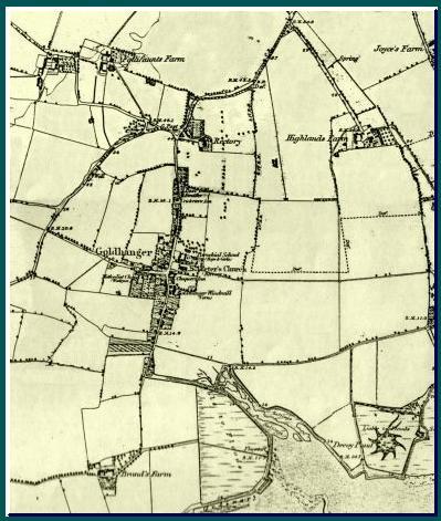
1880s O.S. |
|
|
|
|
|
|
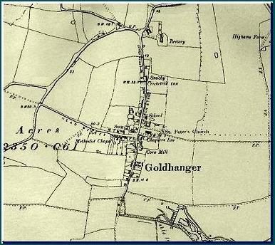
1890s O.S. |
1898 O.S. |
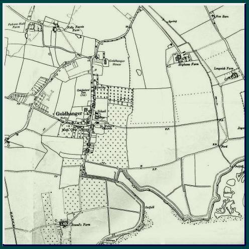
1900s O.S. |
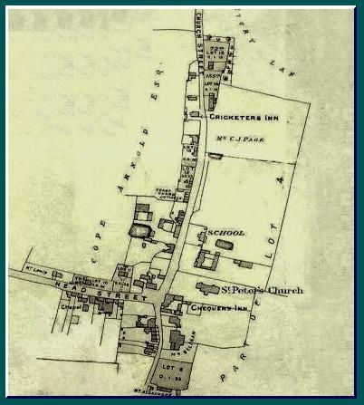
1906 property sale |
|
|
|
|
|
|
1922 O.S. |
1960s O.S. |
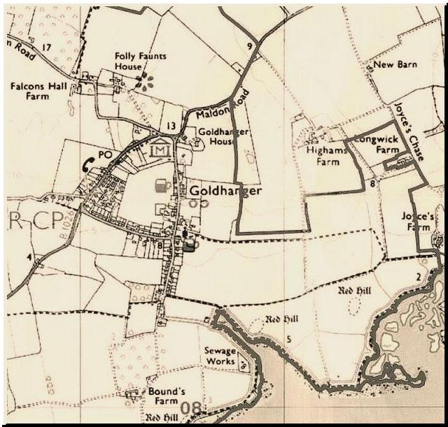
1980s O.S. |
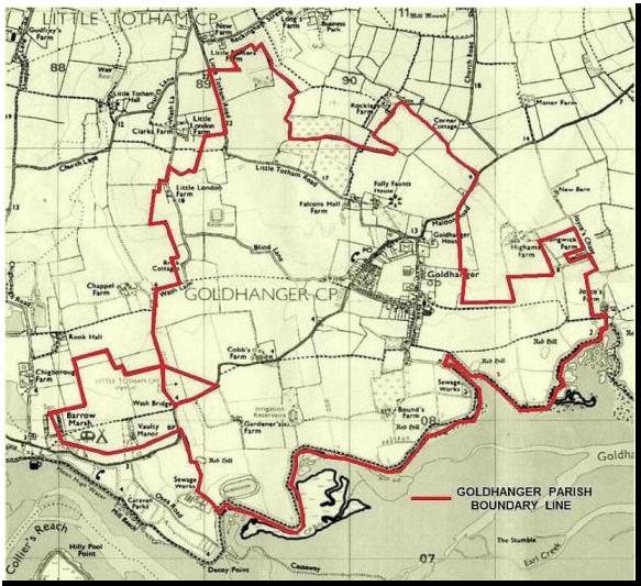
1980s +Parish Boundary |
The Goldhanger Conservation Area Map is available from Maldon District Council’s website as a PDF
file
a local
version with listed and non-listed historic buildings added is here as a .jpg
file…
Goldhanger Conservation Area Map
top early Essex county maps Blackwater Estuary Maps aerial views from the past highways & by-way in the past home