|
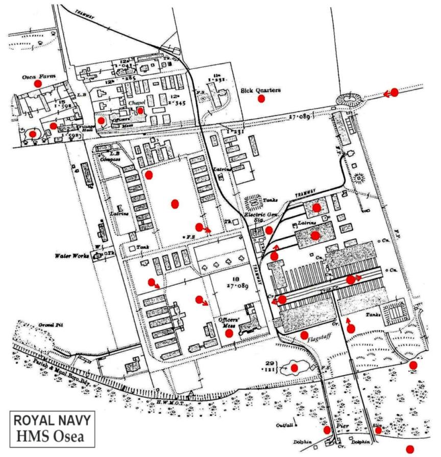
HMS Osea - interactive map This map has links to views of the island between 1915 and 1917 when it was occupied by the Royal Navy zoom in and select a red dot to view the scene from that position,
press the back button to return to the map ( the map has screen notes that don’t appear on Apple devices ) |
|
|
|
back to... HMS Osea
details The Great War Home |